From the manufacturer
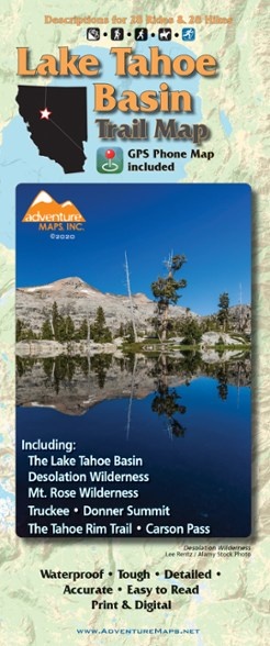
The Adventure Maps Lake Tahoe Basin Trail Map is a waterproof, topographic map (lat/long, UTM grids) that includes detailed route descriptions for Tahoe area trails to ride, run, hike and XC ski.
Features
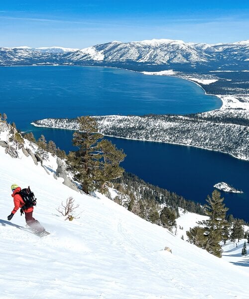
- In addition to its popular ski resorts and deep blue waters, Lake Tahoe Basin is renowned for its mountain-biking, hiking, horseback-riding and cross-country-skiing terrain
- The alpine climate, forested slopes, granite peaks and abundant lakes and streams create a spectacular outdoor recreation destination for all abilities
- Map covers the Lake Tahoe Basin, including Truckee, Donner Summit, Desolation Wilderness, Granite Chief Wilderness, Mt. Rose Wilderness, Hope Valley and The Tahoe Rim Trail
- Includes descriptions for 28 of the best mountain bike rides, 28 hikes and 14 cross-country ski routes in the area, all researched and checked by Adventure Maps
- The ride/hike/ski descriptions and detailed, overall view provided by the map will help you plan the perfect day of recreation
- This trail map displays, describes and rates the majority of the trails and other routes in the Lake Tahoe area in a clear and concise format
- This hard-copy map comes with a a complimentary digital copy for use on your phone/device
Specifications
| Best Use |
Hiking, Mountain Biking, Cross-country Skiing |
| State / Province |
California |
| Folded Dimensions |
9.75 x 4 inches |
| Unfolded Dimensions |
39 x 27 inches |
| Map Scale |
1:63,360 |
| Waterproof |
Yes |
| Publisher |
Adventure Maps, Inc. |
| Copyright Year |
2020 |