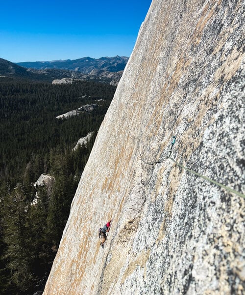
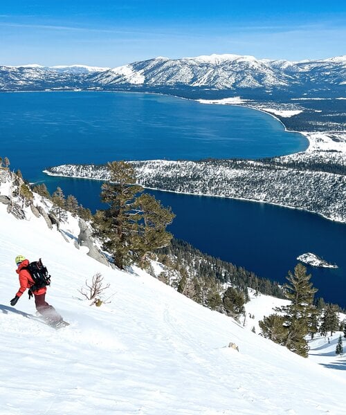
From the manufacturer
In addition to publishing the brand new Daisetsuzan Backcountry map, here at HokkaidoWilds.org we’re also updating our popular Niseko Backcountry map, originally published in 2022. Like last time, this is a non-profit initiative, with a portion of HokkaidoWilds.org’s profit from the map to be donated to mountain safety and sustainability initiatives here in Hokkaido.
2nd Edition Updates
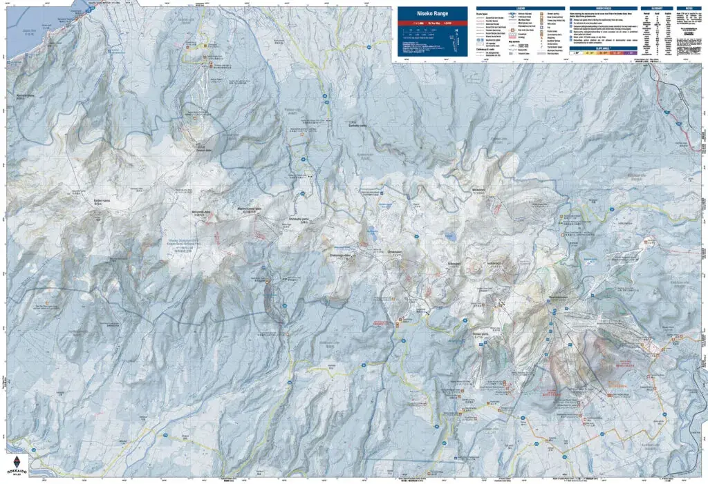
- Updates routes on the Rankoshi side of Raiden-yama at the western end of the Niseko Range. When we published the map in 2022, the Type Two Three catski operation didn’t exist. We’ve updated the map to reflect this new operation. You should check Type Two Three out – having cat access to this zone on the Niseko Range is beyond awesome.
- Updates to access and parking notes for the Rankoshi side of Raiden-yama. We’ve added some emphasis on the fact that there’s no public parking at trailheads on the Rankoshi side of Raiden-yama.
- Added slope angle shading. Roughly following SwissTopo standards, we’ve added colored slope angle shading to the map. This should aid in planning for avalanche terrain travel.
- Updated text on the back of the map. Reflecting the fact we now have two maps, we’ve split the text into ‘General Hokkaido Backcountry Notes’ and ‘Niseko-specific Backcountry Notes’. Basically just a re-arrange of content.
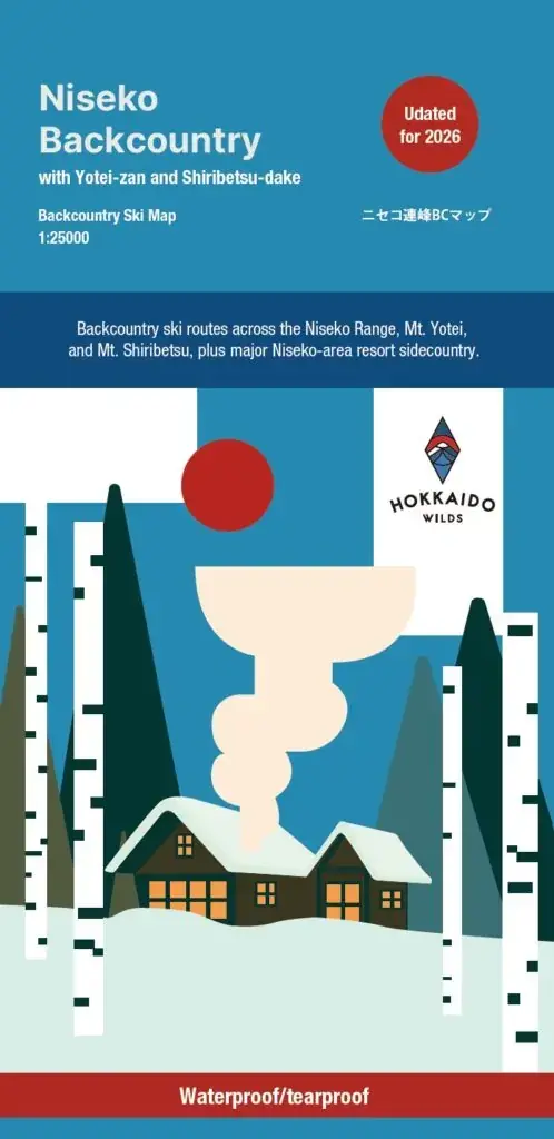
- New cover! The new map cover (by Welldone Gan) reflects that fact backcountry skiing is embedded in community in Niseko. Unlike Daisetsuzan, backcountry zones in the Niseko area are deeply connected with locals’ everyday lives.
Features