Open Daily 8a-6p | 530-582-0909 | [email protected]
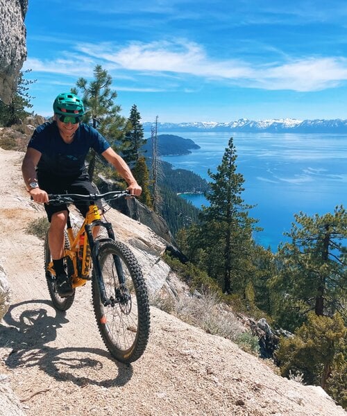
Slideshow Items
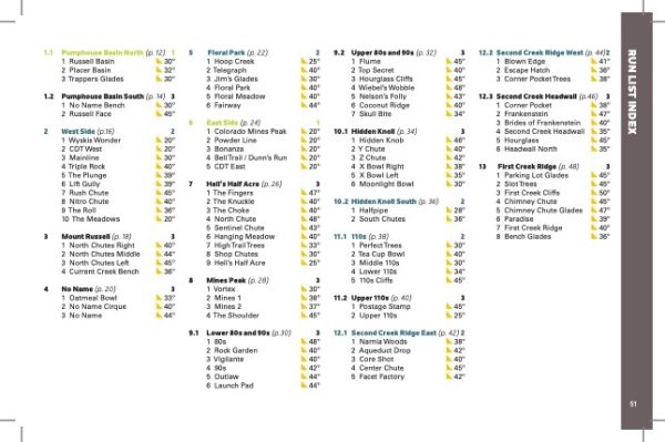
100+ Routes | Wide Variety of Terrain and Difficulty
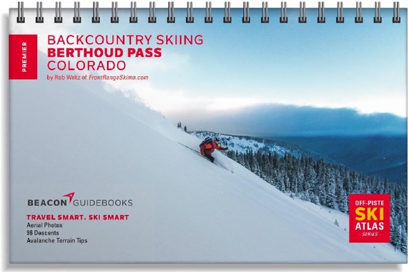
Author and founder of Front Range Ski Mountaineering (frontrangeskimo.com), Rob Writz, has put his breadth of knowledge and years of experience on Berthoud Pass into this one-of-a-kind guidebook.
Since the 1930s, skiers have been exploring the peaks surrounding US Highway 40 as it climbs and descends Berthoud Pass. The former home of one of Colorado’s pioneering ski areas, it has grown into one of the most popular backcountry ski destinations on the Front Range. The Berthoud Pass zone boasts big lines, mellow day tours and everything in between. Every skier can find suitable terrain for their experience and for the day’s avalanche forecast in this guidebook.
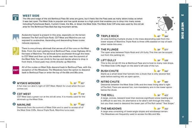
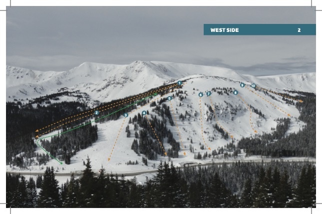
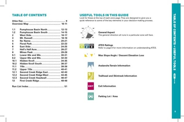
You’ll find high-quality aerial photos marked with ascent and descent indicators, individual run descriptions, slope angles, aspect, Avalanche Terrain Exposure Scale ratings, parking and trailhead information and more in this lightweight book that can fit in your pack. Designed to go along with you on your tours and accompany the Backcountry Skiing Berthoud Pass Ski Map and Ski App. This is more than just a guidebook. It’s a decision making tool.
This 5.5” x 8.5” spiral-bound book covers the following zones: Pumphouse Basin North & South, West Side, Mt. Russell, No Name, Floral Park, East Side, Hell’s Half Acre, Mines Peak, Lower 80s and 90s, Upper 80s and 90s, Hidden Knoll, Hidden Knoll South, 110s, Upper 110s, Second Creek Ridge East & West, Second Creek Ridge Headwall, and First Creek Ridge.
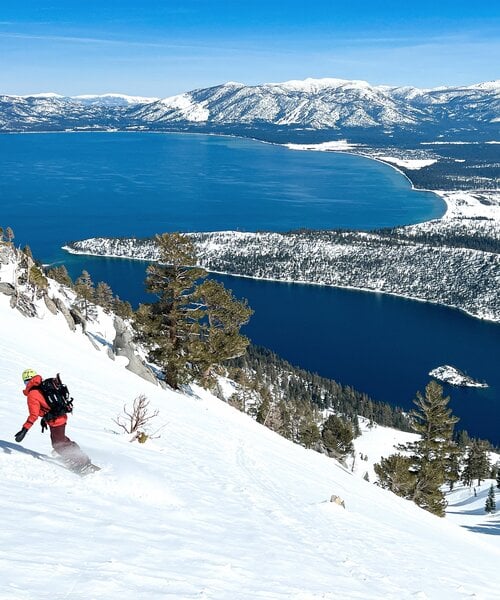
Carousel items
You cart is currently empty