Open Daily 8a-6p | 530-582-0909 | [email protected]
Slideshow Items
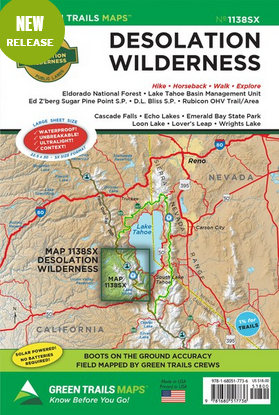
Trail Map
Green Trails Maps show the most current trail, road, and access information to national forests, national parks, state and local parks and other public lands. Areas covered include:
Eldorado National Forest
Lake Tahoe Basin Management Unit
Ed Z'berg Sugar Pine Point State Park
Rubicon OHV Trail/Area
Cascade Falls
Echo Lakes
Emerald Bay State Park
Loon Lake
Lover's Leap
Wrights Lake
D.L. Bliss State Park
CLICK HERE to search all maps via Green Trails interactive map feature.
Map Scale 1:38,000
Carousel items
You cart is currently empty