Open Daily 8a-6p | 530-582-0909 | [email protected]
Slideshow Items
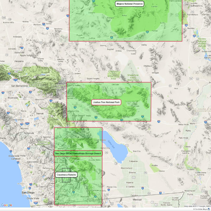
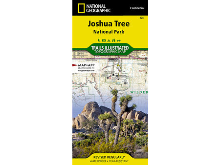
Trailheads, Ranger Stations, Campgrounds, Water, & More
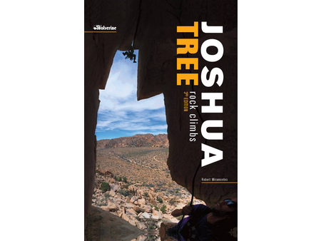
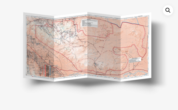
The Joshua Tree National Park, located in the Southern California's south-most part of the Mojave Desert. This map, brought up to date at the end of 2017, scaled to 1:126120 of 1 inch representing 2 mile, with elevation contour lines every 200 feet is the most accurate and up-to-date map for the area. The shade relief brings the map alive.
Major roads, trails and off-road trails are well marked and user's priority indicated.
Standard map icons mark Trailheads, Ranger station,Campgrounds, water availability, RV parks, campgrounds and more.
Carousel items
You cart is currently empty