Open Daily 8a-6p | 530-582-0909 | [email protected]
Slideshow Items
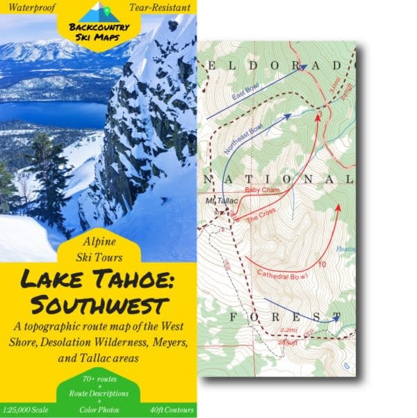
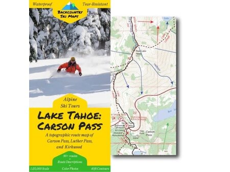
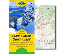
Rubicon Peak -> Ralston Peak North to South | Mt. Price -> Flagpole Peak East to West | 75+ Routes
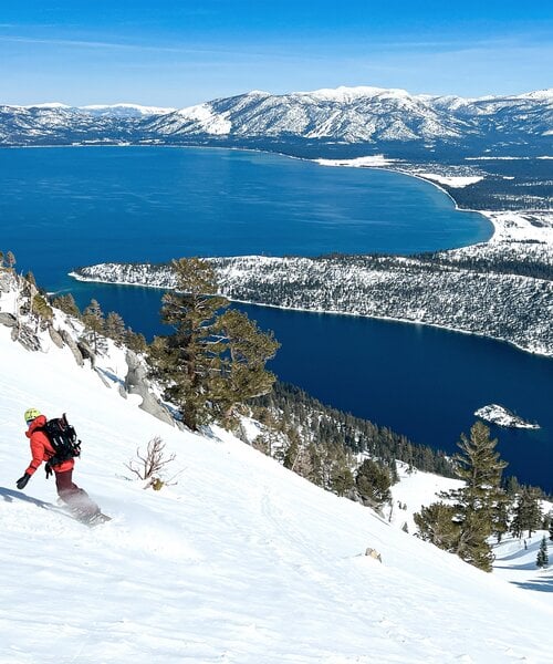
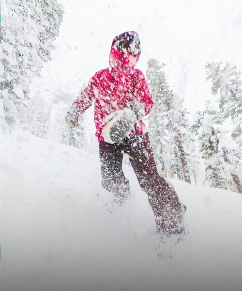
With beautiful bowls, steep and deep couloirs, glorious glades, and electric-blue views, the Southwest corner of Lake Tahoe is a true backcountry skiing Mecca. Make the most of your ski days here by using this topographic route map to guide you to the best backcountry ski routes in the West Shore, Desolation Wilderness, and Meyers areas of the lake.
Includes ski routes on:
This comprehensive topographical route map makes it easy to find new ski lines in the Tahoe backcountry. Covering the area from Rubicon Peak down to Ralston Peak from North to South, and from Mt. Price to Flagpole Peak from East to West, it includes some of the raddest descents around.
Route information, including suggested approaches and descents, is marked on a large scale 1:25,000 map to get you home safely. The map is accompanied on the back by a self-contained field-guide which shows photos and gives detailed descriptions of some of the most worthy descents – the perfect way to get in the know about backcountry skiing in Tahoe.
Descents of all varieties – from killer couloirs to wide open glades – are all covered, so there is something for everyone from the hardened veteran to the beginner tourer.
Carousel items
You cart is currently empty