Open Daily 8a-6p | 530-582-0909 | [email protected]
Slideshow Items


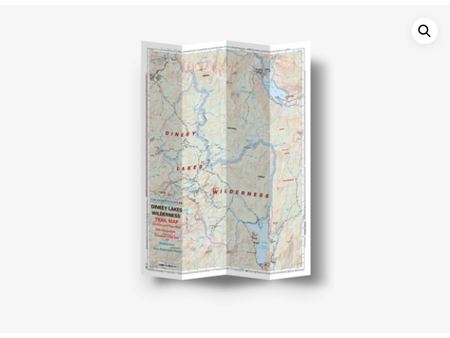
Shaded Relief | GPS Compatible | Complete UTM Grid
Shaded relief map, complete UTM Grid and GPS Compatible. Revised and edited in 2021. In this map is the town of Bridgeport, a gateway to Twin Lakes popular fishing and hiking spots. Wheeler Flat Bush Mountain, Sweetwaters, and Huntoon Valley.
If you are planning a trans-Sierra trip you will probably use this map while connecting the Trail to the Pacific Crest Trail om your way to the Emigrant Wilderness in the west side of the Sierras. Adjacent to this map; to the South is the Yosemite High Country Trail Map, to the West the Emigrant Wilderness Trail Map and to the East the Bodie Hill Map.
NO BIKES.
pub. 2019
scale 1:63,360
80 ft contours
Carousel items
You cart is currently empty