Open Daily 8a-6p | 530-582-0909 | [email protected]
Slideshow Items
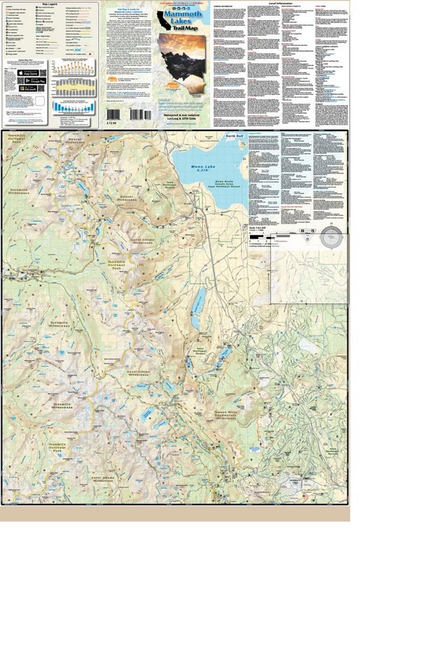
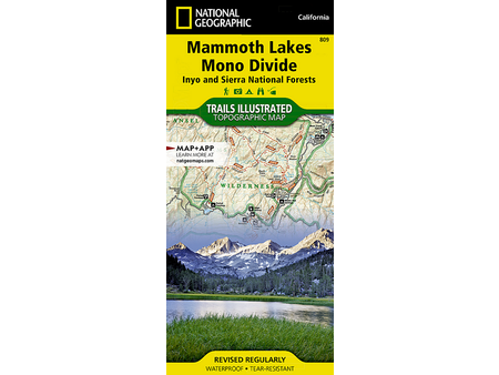
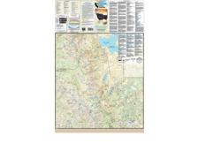
The Mammoth Lakes map (2021) is a waterproof, topographic (lat/long, UTM grids) trail map that includes hiking and mountain biking route descriptions covering the Sierra Nevada Range, John Muir, Ansel Adams & Owens River Headwaters Wilderness areas, Lee Vining, and June Lake. Mammoth Lakes and its surrounding forests and wilderness areas are world renowned for their breathtaking views and recreational opportunities. In winter it provides great skiing (downhill/cross-country). In summer, the town transforms into a base camp mecca for all types of outdoor enthusiasts. From peaks towering above 13,000 feet to rushing streams, lakes full of trout, conifer forests and mountain meadows, this area delivers a truly inspirational nature experience. You will find route details for 29 of the best hikes and 11 of the best mountain bike rides. On this map is a blowup of the Mammoth Lakes area. Rock Climbers, Equestrians and Fishermen will also find this map very useful as it accurately shows all streams, lakes, roads, OHV routes and land ownership boundaries.
Carousel items
You cart is currently empty